VOTIX in Agriculture: Automating Drones for Smarter, Data-Driven Farming
In an era where precision agriculture is no longer a luxury but a necessity, VOTIX is redefining how drones are used on farms. This powerful cloud-based platform brings full automation, remote control, and advanced data analytics to agricultural drone operations—making farming more efficient, data-driven, and cost-effective.
What is VOTIX?
VOTIX is a drone orchestration and automation platform that allows farmers and agronomists to manage drone operations from anywhere. It supports full mission planning, live drone control, and AI-powered data analysis—all from a single, user-friendly dashboard.
Whether you’re monitoring crop health, surveying land, or spraying fertilizers, VOTIX streamlines the entire process from takeoff to insight.
How VOTIX Benefits Agriculture
🌾 1. Automated Crop Monitoring
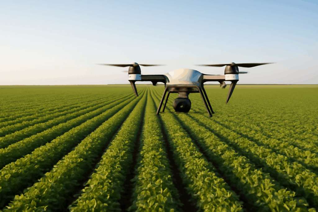
With VOTIX, drones can be programmed to automatically fly over fields on a set schedule. These flights capture multispectral, thermal, and high-resolution imagery, giving farmers a consistent and up-to-date view of crop health across vast acreage.
This eliminates the need for manual scouting and enables early detection of issues like nutrient deficiencies, pest infestations, or irrigation problems.
🚜 2. Remote Operation from Anywhere
VOTIX allows for remote drone piloting—meaning a farmer or agronomist can launch and monitor missions without being in the field. This is especially valuable for large farms or agribusinesses with operations across multiple locations.
You can plan missions, view live video, and receive real-time alerts from your laptop or tablet—saving time and labor.
🌦️ 3. Precision Agriculture with AI Insights
VOTIX doesn’t just capture data—it helps you understand it. Using AI and machine learning tools, the platform can automatically identify crop stress, classify plant health zones, measure field variability, and generate NDVI (Normalized Difference Vegetation Index) maps.
These insights help farmers make targeted decisions about irrigation, fertilization, and pest control—leading to higher yields and lower input costs.
🧪 4. Soil & Terrain Mapping
Drones connected to VOTIX can perform elevation and soil mapping using photogrammetry or LiDAR payloads. This data is crucial for understanding drainage patterns, identifying erosion risks, and optimizing land usage.
📊 5. Historical Data and Compliance Reports
All drone data captured through VOTIX is stored securely in the cloud. Farmers can access historical trends, overlay maps over time, and generate compliance reports for government programs or sustainability certifications.
Use Cases in the Field
Row Crops: Monitor large fields of corn, soybeans, or wheat for stress patterns and growth stage variations.
Orchards & Vineyards: Use drones for precise monitoring and spraying, minimizing chemical use while maximizing coverage.
Irrigation Management: Identify dry zones or overwatered areas with thermal sensors and make real-time adjustments.
Livestock Monitoring: Use drones to observe grazing patterns or check on herds without sending a person into the field.
Why VOTIX is a Game-Changer for Modern Farming
In agriculture, timing and precision are everything. VOTIX gives farmers the tools to act fast and make data-backed decisions, turning aerial insights into practical, on-the-ground action. With full autonomy, real-time video streaming, and seamless data integration, VOTIX reduces manual labor and maximizes productivity across the growing season.
As drone use becomes standard in agriculture, platforms like VOTIX are leading the charge toward fully connected, intelligent farms.