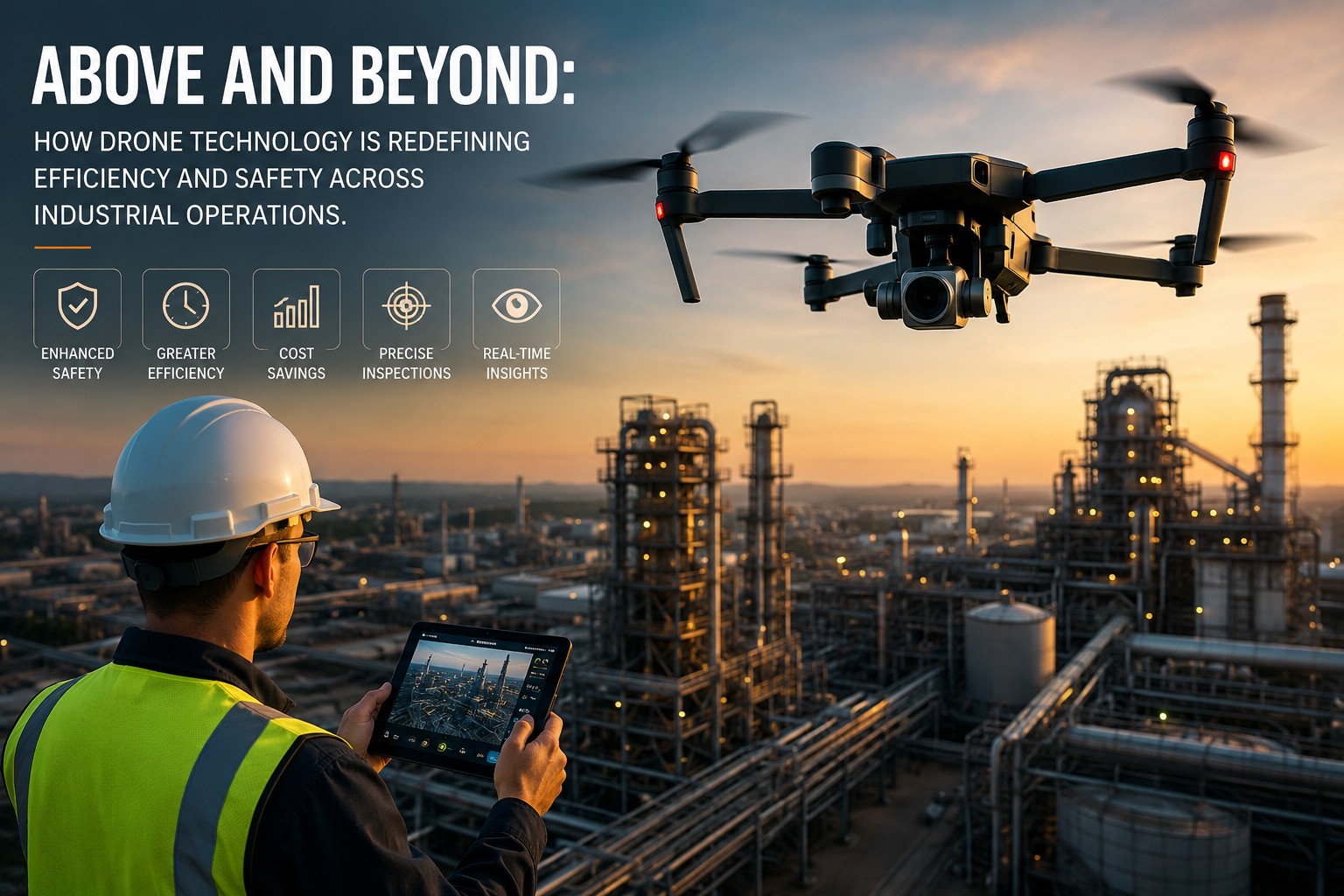
Above and Beyond: How Drone Technology Is Redefining Efficiency and Safety Across Industrial Operations
Why Forward-Thinking Industries Are Replacing Traditional Inspection and Monitoring Methods With Advanced Aerial Solutions
The industrial world has always been defined by its relentless pursuit of efficiency, safety, and operational precision. From the earliest days of mechanized manufacturing to the digital transformation of modern supply chains, industrial operators have consistently embraced technologies that reduce risk, lower costs, and improve the quality and speed of critical operational processes. Today, that pursuit has taken flight — quite literally — as unmanned aerial systems reshape the way industries inspect assets, monitor facilities, manage worksites, and respond to operational challenges.
The pace of adoption is accelerating rapidly. What was considered an emerging technology just a few years ago has matured into a proven operational discipline with established methodologies, sophisticated hardware platforms, regulatory frameworks, and a growing body of real-world evidence demonstrating measurable returns on investment across virtually every major industrial sector. Organizations that have not yet evaluated aerial solutions for their operational challenges risk falling behind competitors who are already realizing the advantages of this transformative capability.
The Core Value Proposition: Safety, Speed, and Data Quality
Three fundamental value drivers explain why industrial operators are integrating drone technology into their operational frameworks at an accelerating pace.
Safety Transformation
Industrial environments contain some of the most hazardous working conditions on earth. Tall structures, confined spaces, high-voltage equipment, toxic atmospheres, extreme temperatures, and unstable terrain create persistent risk for workers performing inspection, maintenance, and monitoring tasks. Traditional approaches require personnel to physically access these hazardous environments — climbing towers, entering vessels, working at height on elevated structures, or navigating active industrial sites with heavy equipment in motion.
Drone technology fundamentally changes this risk equation. By placing an aerial sensor platform in proximity to the asset rather than a human body, organizations can eliminate or dramatically reduce worker exposure to the most dangerous aspects of industrial inspection and monitoring. The safety case alone justifies drone adoption in many industrial applications — but the operational benefits extend well beyond risk reduction.
Operational Speed
Manual inspection of large industrial assets is time-consuming. A thorough inspection of a transmission tower, a wind turbine, a storage tank farm, or a kilometer of pipeline using conventional methods can require days of work by specialized teams with access equipment, safety rigging, and support personnel. A drone-based inspection of the same asset can be completed in a fraction of the time, with no access equipment required and significantly reduced logistical complexity.
This speed advantage translates directly into reduced downtime, faster maintenance decision cycles, and the ability to conduct inspection programs at frequencies that were previously cost-prohibitive. Assets that were inspected annually under conventional approaches can be monitored quarterly or even monthly with drone technology — catching developing issues earlier and preventing costly failures.
Data Quality and Consistency
Modern industrial drones carry sensor payloads that far exceed the capability of human visual inspection. High-resolution cameras capture millimeter-level detail on surfaces that inspectors could not safely approach. Thermal imaging sensors detect heat signatures indicative of electrical faults, insulation failures, and mechanical stress before they manifest as visible damage. LiDAR systems generate precise three-dimensional models of structures and terrain with measurement accuracy that manual survey methods cannot match.
Critically, drone-collected data is consistent, documented, and directly comparable across inspection cycles. Rather than relying on handwritten field notes and subjective assessments from inspectors working in challenging conditions, organizations receive standardized digital datasets that can be analyzed, archived, and integrated into asset management systems for trend analysis and predictive maintenance programs.
Applications Transforming Industrial Sectors
The breadth of industrial applications being transformed by aerial technology is remarkable, spanning sectors as diverse as energy production, mining, construction, agriculture, and logistics.
Energy Infrastructure
Power generation and transmission infrastructure represents one of the highest-value applications for aerial inspection technology. Transmission lines stretching hundreds of miles, wind turbine fleets spread across vast geographic areas, solar arrays covering thousands of acres, and oil and gas pipeline networks traversing remote terrain all present inspection challenges that conventional methods address poorly. Drone-based inspection programs for energy infrastructure deliver faster survey completion, superior defect detection, reduced safety risk, and significant cost savings compared to helicopter or ground-based inspection alternatives.
Mining and Quarrying Operations
Open-pit mining operations generate enormous volumes of spatial data requirements — stockpile volume calculations, bench face mapping, haul road condition monitoring, tailings dam surveillance, and environmental compliance documentation. Drone-based survey and inspection platforms deliver this data with a speed and accuracy that transforms operational decision-making in mining environments. Stockpile volumes that previously required days of manual survey work can be calculated with high accuracy in hours, enabling more responsive inventory management and production planning.Construction and Infrastructure Development
Large construction projects involve complex coordination of materials, equipment, personnel, and schedules across dynamic work environments that change daily. Aerial progress monitoring provides project managers with objective, comprehensive site documentation that supports schedule tracking, dispute resolution, safety compliance monitoring, and stakeholder reporting. Infrastructure inspection — bridges, tunnels, retaining walls, and building facades — benefits from the access and data quality advantages that drone platforms provide.Choosing the Right Partner for Aerial Operations
The quality of outcomes from drone-based industrial programs depends enormously on the expertise, equipment, and operational discipline of the service provider. Not all aerial service providers are equal — the gap between a provider with genuine industrial expertise and one offering commodity drone services is significant and directly affects the value delivered.When organizations deploy industrial drone services from providers with deep sector-specific knowledge, purpose-configured sensor payloads, rigorous data processing workflows, and demonstrated experience in regulatory compliance, the results consistently outperform programs built around generalist providers or in-house amateur operations.
Evaluate potential service partners on their industry-specific experience, the quality and variety of their sensor payloads, their data processing and reporting capabilities, their safety management systems, and their regulatory compliance track record. The right partner brings not just aircraft and pilots but a complete operational methodology designed to extract maximum value from every flight.
Integration With Digital Operations
The full potential of aerial data is realized when it flows seamlessly into the broader digital operational environment. Integration with asset management systems, geographic information platforms, building information models, and enterprise data analytics platforms transforms drone data from standalone inspection reports into a continuous stream of operational intelligence that informs maintenance planning, capital allocation, risk management, and regulatory compliance across the organization.Organizations building long-term aerial data programs benefit from establishing data standards and integration architectures early — ensuring that data collected today remains valuable and accessible as systems and technologies evolve over time.
Elevate Your Industrial Operations Today
At Skyintelli, Inc, we bring world-class expertise, advanced aerial technology, and a deep commitment to operational excellence to every industrial engagement we undertake. Our team combines certified pilots, specialized sensor systems, rigorous data processing workflows, and sector-specific knowledge to deliver aerial intelligence that drives measurable operational improvement for our clients. Whether you are exploring drone technology for the first time or looking to elevate an existing program to a higher level of performance, we are ready to partner with you in building an aerial capability that transforms how your organization manages its most critical assets. Contact us today and discover what is possible when industrial expertise takes flight.
Mining and Quarrying Operations
Construction and Infrastructure Development
Choosing the Right Partner for Aerial Operations
When organizations deploy industrial drone services from providers with deep sector-specific knowledge, purpose-configured sensor payloads, rigorous data processing workflows, and demonstrated experience in regulatory compliance, the results consistently outperform programs built around generalist providers or in-house amateur operations.
Evaluate potential service partners on their industry-specific experience, the quality and variety of their sensor payloads, their data processing and reporting capabilities, their safety management systems, and their regulatory compliance track record. The right partner brings not just aircraft and pilots but a complete operational methodology designed to extract maximum value from every flight.
Integration With Digital Operations
Organizations building long-term aerial data programs benefit from establishing data standards and integration architectures early — ensuring that data collected today remains valuable and accessible as systems and technologies evolve over time.